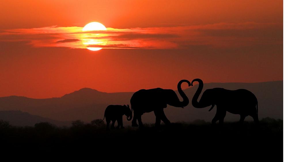
Counting elephants from space is a bit like trying to find a needle in a haystack. But a team of scientists led by the University of Oxford Wildlife Conservation Research Unit, WildCRU are doing just that.
Using pictures from an Earth-observation satellite, they can cover over 5,000 km² of elephant habitat to be surveyed on a single cloud-free day.
The project was a collaboration between WildCRU, the Machine Learning Research Group’s Department of Engineering and the University of Twente in the Netherlands.
It uses the highest resolution satellite imagery currently available; Worldview 3 from Maxar Technologies (distributed by EU Space Imaging) and deep learning (TensorFlow API, Google Brain).
“The traditional method to count elephants in savannah environments is using manned aircraft, ” Isla Duporge, a PhD Researcher in the Department of Zoology from the University of Oxford told Euronews.
“But this presents a new method that can be used in open landscapes to count elephants. It works both in heterogeneous (diverse) environments and also in more homogenous landscapes where it’s easy to spot them,” said Duporge.
The elephants are counted using machine-learning technology, which has the same accuracy as humans doing the same tak, explains Dr Olga Isupova, a computer scientist at the University of Bath in the UK, who created the algorithm that enabled the detection process.
“We haven’t compared it with data from a manned aircraft but we compared it with human performance, as it’s the only reference we could think of as no one has done deep learning on satellite imagery to detect elephants before. So we are on a par with human observations,” Isupova told Euronews.
Animals such as penguins and whales have been detected via pictures taken from space before, but what makes this different is the elephants can be counted in complex landscapes, like forests and grasslands.
“The varied background makes this different,” says Isupova. “Wales are in the ocean and it’s all blue and penguins are on the ice so it’s also a uniform background. But we detect species in complex areas where it’s difficult to detect them.”
There are some potential problems, however, such as cloud cover. But as Duporge explains: “We were able to ask for images that had less than 10 percent cloud cover, but most environments where we want to count elephants, there isn’t much cloud cover.”
“There is also the problem of competition on the satellites and the cost of imagery. But there are a lot of advantages compared to using manned aircraft; you can cover transfrontier areas and you can do repeat surveys quite easily because the revisit time of satellites can be just a few days. And you can cover larger areas than possible with traditional manned aircraft.”
The innovation could be an important step forward in monitoring populations of endangered species.
“We have been contacted by the US Army research office,” says George. “They do a lot of anti-poaching work so it may be possible to detect carcasses and that could provide some information about areas of national parks where you have higher poaching incidents.
“But the idea is for this to be used to generate more accurate population counts.
“Nothing can replace having well-trained wildlife rangers on the ground. This is a surveying tool and is part of the puzzle to help preserve this majestic species.”
Isla Duporge from the University of Oxford Department of Zoology and Olga Isupovla, a lecturer in Artificial Intelligence at the University of Bath, explain more about the technology in the above video player.